Call or Text: +1 (208) 425-2990
Email: Sales@DroneSprayPro.com
How Topographic Mapping Improves Spray Drone Accuracy
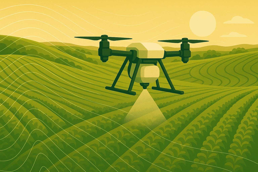
Modern agriculture is solving a big problem: how to spray chemicals accurately on uneven land without wasting resources. Topographic mapping is the key. It creates 3D models of fields, helping spray drones adjust their flight paths and spray patterns for better precision.
Why It Matters:
- Boosts crop yields by up to 20%.
- Reduces chemical use by up to 45%.
- Handles slopes, elevation, and drainage better than traditional methods.
How It Works:
- 3D Terrain Models: Show slopes, contours, and elevation changes.
- Tools Used: LiDAR, photogrammetry cameras, RTK/PPK GPS, and drones.
- Flight Adjustments: Drones follow the ground’s shape for even spraying.
- Prescription Maps: Target specific areas with the right amount of chemicals.
Key Benefits:
- Improves efficiency and saves costs.
- Reduces environmental impact.
- Works on challenging terrain like hills and valleys.
By combining topographic mapping with advanced drone technology, farmers can achieve accurate, efficient, and consistent spraying, even on complex fields.
How to Map Land To Spray With Your Agricultural Drone! (Step by Step Guide)
What is Topographic Mapping in Agriculture
Topographic mapping creates 3D models of farmland by using elevation data. Unlike flat, 2D maps, these models highlight slopes, contours, and other terrain features that show how water flows, where soil tends to gather, and how crop performance can differ across a field.
In agricultural spraying, these terrain models are essential for precision applications. They help farmers and drone operators understand how the land’s shape influences chemical distribution, wind behavior, and overall coverage. By analyzing these models, operators can make better decisions about spray height and resource use.
The process involves gathering thousands of elevation points across a field and converting them into digital terrain models. These models capture even slight elevation changes, which play a big role in ensuring the spray height is just right. This level of detail is crucial for using resources efficiently and boosting crop yields.
For example, in the Southern U.S., rice and peanut farmers use drone-generated models to monitor how subsidence - caused by depleted water tables - impacts their fields. By mapping these changes, they can adjust field slopes to better manage water flow.
Terrain Features That Affect Spray Accuracy
One of the most important factors influencing spray accuracy is slope variation. Even small slopes of just 2–3 degrees can disrupt spray coverage if drones maintain a fixed altitude above sea level instead of following the ground’s contours. Steeper slopes add complexity, as gravity affects how droplets spread, and wind patterns shift with elevation changes.
Elevation differences across a field also impact spray consistency. Without terrain-following capabilities, drones may spray too high over raised areas or apply too much in low spots, leading to uneven chemical distribution.
Drainage patterns and water flow paths, visible in topographic maps, also matter. These patterns influence soil moisture, crop growth, and chemical runoff. By understanding them, operators can adjust spray rates and schedules to minimize washout or over-concentration in certain areas.
Even small-scale elevation changes, known as micro-topography, can affect crop health and chemical needs. Depressions often collect water and nutrients, promoting lush growth, while raised areas may dry out and require different treatments.
Field orientation also plays a role. For instance, south-facing slopes get more sunlight and may need sprays at cooler times to prevent evaporation, while north-facing areas might require adjusted rates due to slower drying conditions.
Tools for Topographic Mapping
Several advanced tools make topographic mapping highly effective in agriculture:
- LiDAR (Light Detection and Ranging): This technology uses laser pulses to measure elevation with incredible accuracy. LiDAR can even penetrate crop canopies to capture the ground’s true elevation, making it ideal for fields with standing crops.
- Photogrammetry Cameras: These cameras use aerial photos taken from multiple angles to create 3D terrain models. While they’re generally more affordable than LiDAR, they rely on good lighting and can struggle with dense vegetation.
- RTK/PPK GPS Systems: These GPS systems provide centimeter-level accuracy. RTK (Real-Time Kinematic) systems apply corrections during the flight, while PPK (Post-Processed Kinematic) systems make corrections afterward. Both methods ensure precise elevation data for spraying.
- Drones as Mapping Platforms: Multicopter drones are great for navigating complex terrain and hovering for detailed data collection, while fixed-wing drones excel at covering large areas efficiently, making them perfect for fields spanning hundreds of acres.
With these tools, mapping systems can survey up to 500 acres in a single day, collecting millions of data points to create highly detailed terrain models. This efficiency allows for regular mapping to track changes caused by erosion, settling, or land management practices. These technologies lay the groundwork for the next steps in data collection and analysis.
How to Collect and Process Topographic Data
Collecting accurate topographic data takes careful planning and involves two main steps: capturing raw elevation data through well-planned drone flights and transforming that data into terrain models that spray drones can use effectively.
Planning Flights and Setting Up Sensors
The first step in flight planning is determining your Ground Sample Distance (GSD), which defines how detailed your terrain model will be. For spray drone use, a GSD of 1–2 inches is ideal - it provides enough detail without overwhelming you with unnecessary data.
Altitude plays a big role in achieving the right GSD. Typically, flying at 200–300 feet above ground level works well for agricultural mapping, though the exact height depends on your sensor and field conditions. Make sure to maintain at least 50 feet of clearance above the tallest obstacles in the field.
Image overlap is essential for building accurate 3D models. Set your drone to capture images with 60–80% overlap in both forward and sideways directions. This ensures the software has enough reference points to create precise models. Without adequate overlap, the resulting data may have gaps or inaccuracies, making it unreliable for spray operations.
Weather conditions also matter. Avoid flying in winds over 15 mph to prevent camera shake and uneven image spacing. Overcast days are often better than sunny ones because even lighting reduces harsh shadows, which can confuse processing software.
Battery life is another key factor, especially for large fields. Mapping drones generally cover 40–60 acres per battery, depending on altitude and wind conditions. For bigger areas, plan multiple flights with fresh batteries rather than pushing one battery too far, which could lead to rushed data collection or emergency landings.
Ground Control Points (GCPs) improve accuracy. Place these surveyed markers throughout the field - one GCP per 25–50 acres is usually sufficient. However, if you're using an RTK-enabled drone, you can often skip GCPs altogether while still achieving high precision, making these drones a great option for routine mapping.
Once you've captured high-quality images through planned flights, the next step is turning that data into detailed terrain models.
Creating Usable Terrain Models
After collecting the imagery, you'll need to process it into terrain models that guide precise spray operations. Photogrammetry software like Pix4D, DroneDeploy, or Agisoft Metashape can convert overlapping images into Digital Elevation Models (DEMs) and Digital Surface Models (DSMs). DEMs show the bare ground elevation, while DSMs include vegetation and structures.
For spray drones, DEMs are typically more useful because they provide a clear view of the terrain that affects water flow and chemical distribution. The software removes temporary features like crops, leaving behind the stable land contours that remain consistent throughout the season.
Choosing the right resolution is also important. A 5-meter resolution DEM means each pixel represents a 25-square-meter area on the ground. This strikes a good balance between detail and file size. Higher resolutions, like 1 meter, offer more detail but can slow down flight planning software due to larger file sizes.
Slope classification is another valuable tool. Processing software can sort terrain into categories like flat (0–2°), gentle (2–5°), moderate (5–15°), and steep (over 15°). These classifications help identify areas that may need adjustments in spray height or application rates to ensure even coverage.
Contour intervals should match your operational needs. For most spray drone applications, 1-foot intervals provide enough detail to highlight major elevation changes without cluttering the map. In steeper areas, tighter 6-inch intervals might be better, while flat fields can often use 2-foot intervals.
Finally, export your terrain models in formats compatible with your spray drone’s flight planning software. GeoTIFF files work well for DEMs, while KML or Shapefile formats are common for contour data. Double-check that the coordinate system matches your mission planning software to avoid positioning errors during operations.
Quality control is critical before relying on your terrain model. Compare it to known elevation points in the field and look for errors like elevated areas showing as depressions or smooth slopes appearing jagged. These issues often stem from insufficient image overlap or processing errors and should be fixed before using the data for spray missions.
Using Topographic Data with Spray Drones
Incorporating accurate terrain models into spray drone operations can significantly improve flight efficiency and chemical application. By using topographic data, spray drones can automatically adjust their flight paths and application rates, ensuring consistent coverage, even on uneven terrain. This technology enables advanced features like terrain-following and precise chemical application through prescription maps, which are explained below.
Terrain-Following and Nozzle Control
Terrain-following technology helps spray drones maintain a steady height above the ground, even when navigating hills, valleys, or other uneven landscapes. Most agricultural spray drones operate at a height of about 2–3 meters (approximately 6.5–10 feet) above crops, which is ideal for effective spraying.
To achieve this, drones rely on radar and LIDAR sensors combined with terrain models. These sensors provide real-time altitude measurements, allowing the drone to smoothly adjust its height and maintain optimal spray patterns.
The system also automatically modifies nozzle flow rates and flight speeds based on the slope of the terrain. This ensures even chemical distribution, as variations in ground speed caused by uneven terrain could otherwise result in inconsistent application.
Creating Prescription Maps for Drones
Topographic models also play a key role in guiding precise chemical application through the use of prescription maps. These maps instruct spray drones on where to apply chemicals and at what rates, enabling a targeted, variable-rate approach rather than a uniform application. Typically, these maps are created in formats like Shapefile, KML, or ISOXML, which can be easily imported into most agricultural drone software.
Prescription maps take into account how topography affects chemical distribution. For instance, low-lying areas prone to water accumulation may require reduced herbicide application to prevent runoff, while higher, fast-draining areas might need increased rates. By integrating data on terrain, soil conditions, and crop health, these field-specific maps help determine the exact amount of chemicals needed, reducing waste and improving yields.
"With drones, we cut back on the water supply, enhancing the strength of the formula per mixed gallon. We typically only apply about two to three gallons per acre."
- Jeff Clack, Bestway Ag Chief Supervisor of Operations
Creating effective prescription maps involves layering multiple types of data, such as soil maps, multispectral imagery for crop health, and historical yield data, to define precise application zones. Adjusting spray path overlap settings is also critical. For example, flat fields may only need a standard overlap of 10–30% between spray paths, while more complex terrain might require greater overlap to ensure complete and consistent coverage without gaps.
sbb-itb-3b7eef7
Drone Spray Pro Solutions for Precision Spraying
Drone Spray Pro provides advanced topographic mapping and precision spraying solutions, helping farmers in Idaho and beyond achieve more efficient and accurate applications. Their RTK-equipped drones offer the pinpoint accuracy needed to optimize spray patterns based on detailed terrain data.
At the heart of their system is RTK technology. While standard GPS systems provide accuracy within 3–10 feet, RTK takes it to the next level, delivering horizontal precision of 0.3 inches and vertical precision of 0.6 inches by using real-time corrections from fixed base stations.
"RTK is the backbone of precision drone operations." - Fair Lifts Helicopter Services
This level of precision allows drones to maintain consistent spray heights, even over uneven terrain, and effectively navigate obstacles. By integrating RTK with topographic mapping data, these drones excel at terrain-following and prescription mapping, ensuring spray applications align perfectly with the terrain for better results.
Drone Spray Pro simplifies adoption with ready-to-fly packages that include everything a farmer needs - drones, batteries, chargers, and RTK dongles - making them ideal for operations of all sizes, from small family farms to large-scale commercial enterprises.
The company partners with leading manufacturers, offering models like DJI Agras, Talos T60X, ABZ Innovation, and XAG systems. These drones are equipped with sensors and software to process terrain data and deliver precise spray patterns. For example, the DJI T-40 package includes advanced terrain-following capabilities, automatically adjusting flight paths to account for elevation changes.
Drone Spray Pro goes beyond just providing hardware. They offer comprehensive training on drone operation, data analysis, maintenance, and crop-specific spraying techniques, ensuring farmers can fully utilize their equipment.
To help farmers navigate regulatory hurdles, the company also provides FAA licensing assistance, guiding users through the certification process required for commercial drone operations. This support ensures compliance with federal regulations and minimizes delays.
What sets Drone Spray Pro apart is their combination of technical know-how and hands-on farming experience. As Idaho-based farmers themselves, the team understands the challenges of precision agriculture firsthand. This unique perspective enables them to recommend the best equipment and provide ongoing support, ensuring systems run smoothly during critical spray seasons.
The Future of Spray Drones and Topographic Mapping
The spray drone market is on a remarkable trajectory, with projections estimating it could hit $10.86 billion by 2029. This rapid growth is paving the way for cutting-edge technologies that are set to transform precision spraying even further.
One of the most exciting advancements is the integration of AI-driven systems. These drones can already deliver highly accurate crop monitoring, but future models will take it a step further by automatically adjusting spray patterns in real time. This means drones will optimize their spraying based on precise data, reducing waste and improving efficiency.
When combined with topographic data, AI unlocks even greater potential. Automated Variable Rate Spraying (VRS) systems are a prime example. Using advanced sensors, these systems can adjust spray density dynamically, accounting for elevation changes, slopes, and other field conditions. Early tests have shown that such systems can cut herbicide use by as much as 90%. That’s a game-changer for both cost savings and environmental impact.
Looking ahead, real-time topographic monitoring will refine this precision even more. Future drones will update terrain models continuously during flight, allowing them to adapt instantly to shifting field conditions. This feature will be particularly useful for large farms, where terrain can vary significantly from one area to another.
Another exciting development is swarm technology. Imagine fleets of drones working together, sharing topographic data in real time to tackle large-scale operations with incredible efficiency. Coordinated drone swarms could completely redefine how spraying is done, making it faster and more effective than ever before.
"Adoption will hinge on technological advances, regulatory changes, and cost efficiency. As technological capabilities expand, drones may offer farmers new ways to manage resources more efficiently, monitor crop health more accurately, and adapt to changing environmental conditions." - Sepehr Achard, Administrator, iGrow News
Future drone designs will also focus on modularity, allowing farmers to use the same platform for mapping, monitoring, and spraying throughout the growing season. Additionally, advancements in battery technology and hydrogen fuel cells promise to extend flight times, making it easier to cover larger areas without interruptions. Companies like Drone Spray Pro are already leading the way with modular platforms equipped with RTK technology.
These innovations promise to make advanced topographic mapping and precision spraying accessible to farms of all sizes. Even smaller operations will soon benefit from tools that were once only available to large-scale commercial farms, leveling the playing field and boosting efficiency across the board.
FAQs
How does topographic mapping help spray drones perform better on uneven terrain?
Topographic mapping plays a key role in boosting the accuracy of spray drones on uneven terrain by providing detailed elevation data. With this information, drones can adjust their flight paths and spray patterns in real-time, ensuring they consistently maintain the right spray height over hills, slopes, and other irregular surfaces.
By generating precise 3D models of the landscape, drones can avoid common issues like overspraying or underspraying. This results in more uniform coverage and less waste of resources. On top of that, terrain-following technology allows drones to maintain a steady distance from the ground, ensuring chemicals are distributed evenly and effectively. This not only improves spraying precision but also helps farmers manage resources more efficiently.
What makes LiDAR better than photogrammetry for topographic mapping in agriculture?
LiDAR stands out as a powerful tool for topographic mapping in agriculture, offering several advantages over photogrammetry:
- Cuts through vegetation: LiDAR excels at capturing accurate terrain data, even in areas with dense vegetation or under tree canopies - situations where photogrammetry often falls short.
- Quick and efficient: Processing LiDAR data requires less computational effort and time, making it a faster option overall.
- Works in low light: Unlike photogrammetry, which depends on good lighting, LiDAR performs effectively in low-light conditions, whether it’s cloudy or even nighttime.
- Precise elevation data: LiDAR delivers highly accurate elevation measurements, especially in uneven or complex terrains, ensuring dependable topographic mapping.
Thanks to these strengths, LiDAR is a go-to solution for improving spray drone accuracy in agriculture, particularly in environments where precision is non-negotiable.
How does topographic mapping help spray drones apply chemicals more accurately?
How Topographic Mapping Enhances Spray Drone Accuracy
Topographic mapping plays a key role in improving the precision of spray drones by offering detailed insights into a field's elevation and terrain. With this data, farmers can design accurate spray maps, ensuring chemicals are applied exactly where they’re needed. This helps prevent both overapplication and missed spots, which can lead to wasted resources or uneven crop health.
When combined with tools like GPS and terrain-following radar, spray drones can adapt their flight paths in real time. This allows them to maintain steady application rates, even when navigating uneven or sloped terrain. The result? Greater efficiency, reduced chemical waste, healthier crops, and ultimately, better yields.