Call or Text: +1 (208) 425-2990
Email: Sales@DroneSprayPro.com

How Obstacle Avoidance Works in DJI Agras Drones
DJI Agras drones use advanced obstacle avoidance systems to ensure safe and efficient crop spraying. These drones detect obstacles like power lines, trees, and buildings using radar, vision sensors, and RTK technology, allowing them to navigate complex farm environments. Key features include:
- Obstacle detection range: Up to 164 ft (50 meters) on most models.
- 360-degree sensing: Combines radar and binocular vision for full coverage.
- Real-time alerts: Operators receive immediate notifications through the app for safer flight adjustments.
- Terrain following: Drones maintain altitude over uneven ground, even in low visibility conditions.
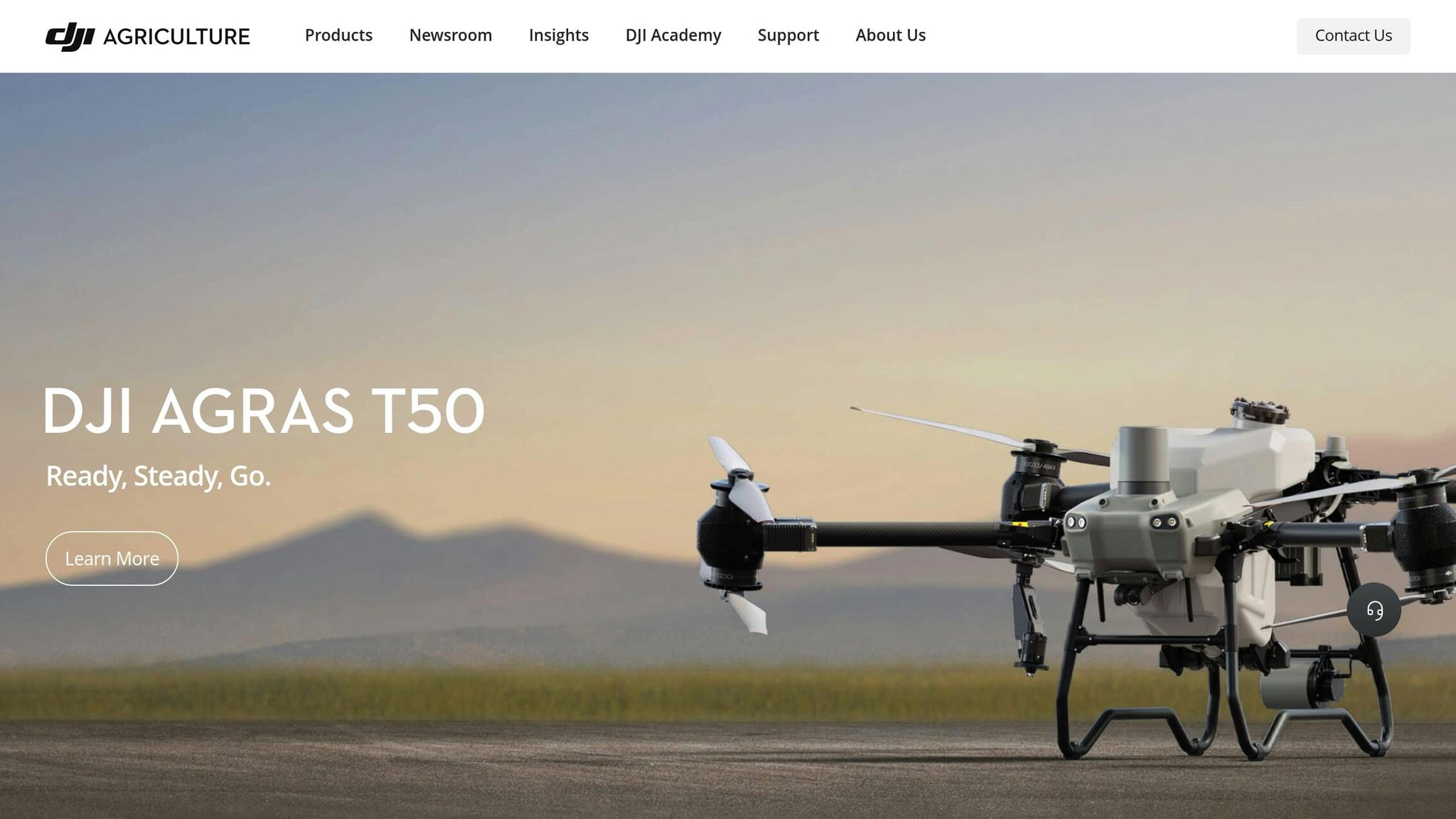
Agras T50 &T25 Safety System Introduction
DJI Agras Obstacle Detection Technologies
DJI Agras drones are equipped with three key technologies to navigate and avoid obstacles: Active Phased Array Radar, binocular vision sensors, and RTK positioning systems. These systems form the foundation of the drones' real-time obstacle detection and navigation capabilities. Below, we break down how each technology contributes to this advanced functionality.
Radar Systems for Multi-Direction Detection
The Active Phased Array Radar is the primary tool for obstacle detection in DJI Agras drones. This radar can identify objects up to 164 feet (50 meters) away and completes a full scan of its surroundings in just 0.1 seconds, ensuring quick and accurate detection even during fast-paced operations.
This radar system comes with dynamic beam pointing and anti-jamming features. The dynamic beam adjusts to detect smaller obstacles like power lines or guy wires, which are common in agricultural environments. At closer ranges, it can detect objects within 66 feet (20 meters) with an impressive accuracy of 0.02 inches (0.5 mm).
For example, the Agras T40 integrates this radar with binocular vision sensors to achieve 360-degree horizontal obstacle sensing. This setup allows the drone to maintain constant awareness of its surroundings, even during complex spray patterns.
Vision Sensors and System Integration
Binocular vision sensors complement the radar system by creating detailed environmental maps in real time. These sensors enable the drone to follow terrain intelligently, ensuring smooth navigation over uneven or sloped landscapes.
The Agras T50 demonstrates an advanced integration of dual radars and vision sensors, which work together to map the environment dynamically. This system generates a 3D spatial point cloud model that captures intricate terrain details, enabling the drone to sense and avoid obstacles while maintaining precise terrain following.
Meanwhile, the DJI Agras T20P uses a combination of vision sensors and radar for multi-directional obstacle avoidance and forward obstacle bypassing. This integration ensures reliable operation even in challenging conditions, such as low light or visibility issues caused by dust or mist. Operators can rely on automated systems for routine tasks while retaining manual control when necessary.
RTK Technology for Precise Navigation
To enhance navigation accuracy, DJI Agras drones utilize Real-Time Kinematic (RTK) technology. RTK delivers centimeter-level positioning accuracy, which is critical for avoiding obstacles and maintaining precise flight paths. This system compares satellite data with a ground station, correcting errors caused by factors like atmospheric interference or nearby structures.
"With an RTK drone, surveyors and other kinds of enterprise drone pilots can expect centimeter-level positioning accuracy with each flight."
For agricultural applications, this means drones can navigate safely around trees, buildings, and equipment while staying on their intended path. DJI Agras drones are equipped with an on-drone RTK module and a high-precision GNSS Mobile Station, eliminating the need for ground control points and simplifying operations.
Farmers using tools like Drone Spray Pro can maximize their drones' performance by understanding these technologies. RTK dongles and training offered by the company help operators make the most of these advanced positioning systems, ensuring safe and efficient fieldwork every time.
How DJI Agras Drones Avoid Obstacles During Flight

DJI Agras drones use advanced detection systems and intelligent navigation to handle obstacles during flight. By understanding how these drones detect and react to obstacles, operators can enhance both safety and operational efficiency. The process involves three key steps: detection and assessment, navigation response, and adapting to flight conditions.
How Drones Detect and Assess Obstacles
When a DJI Agras drone encounters an obstacle, its Active Phased Array Radar scans the surrounding airspace in just 0.1 seconds, identifying objects in its path. Once detected, the drone begins assessing the obstacle. For example, the Agras T20 starts slowing down when it detects an object over 1 cm in diameter at a distance of about 49 feet (15 meters). As the drone approaches, it continuously measures the obstacle’s size and adjusts its flight path accordingly.
The precision of distance measurement is critical here. On models like the Agras T40, the radar can detect objects up to 66 feet (20 meters) away with an accuracy of 0.02 inches (0.5 mm). To enhance this process, binocular vision sensors work alongside the radar to generate detailed environmental maps. These maps help the drone determine the obstacle’s dimensions and the best way to navigate around it. The detection system even adapts based on the drone's flight mode, whether it’s following terrain contours or maintaining a steady altitude.
This precise detection sets the stage for the drone’s next move: navigation.
Automatic Navigation and Manual Control Options
Once an obstacle is detected, the drone's navigation system takes over. DJI Agras drones can automatically bypass obstacles or switch to manual control, offering flexibility for different scenarios. For instance, when the Agras T20 detects an obstacle, it hovers about 8 feet (2.5 meters) away, calculates an alternate route, navigates around the object, and then resumes its original flight path. The Agras T50 takes this a step further with its rear phased array radar, which provides 360-degree sensing to detect obstacles from any direction and execute intelligent detours.
Automatic obstacle avoidance works best in conditions like daylight, gentle slopes, and areas with minimal wiring or small obstacles. However, it’s less effective in low light, rainy weather, or areas with dense electrical wires - situations where manual control becomes crucial. Operators can activate obstacle sensing through the drone’s sensor settings, attitude indicator, parameter settings, or remote controller shortcuts, making it easy to adapt to changing environments.
Flight Conditions That Affect Obstacle Avoidance Performance
Several factors, including speed, altitude, and weather, can influence how well the obstacle avoidance system works. Higher speeds reduce the time available for detection, while maintaining an optimal altitude ensures the sensors perform effectively. Adverse weather conditions like rain, fog, or low light may require operators to rely more on manual control. The drone’s downward sensing system helps with terrain following and altitude stabilization, which is especially useful on sloped fields.
For example, the Agras T50’s terrain-following mode allows it to navigate orchards on slopes of up to 20 degrees. Paired with the DJI RC Plus controller and its real-time mapping capabilities, the drone can automatically identify fruit trees and obstacles, creating 3D flight routes tailored to the vegetation layout.
Proper route planning before takeoff is another way to improve obstacle avoidance. By marking complex obstacles in advance and designing flight paths to avoid tricky areas, operators can ensure smoother operations. Regular maintenance of sensors also plays a key role in maintaining performance.
It’s important to note that the effectiveness of the system depends on the material, shape, and position of obstacles. Metallic objects, for instance, produce stronger radar signals compared to organic materials, while thin wires are harder to detect than solid structures. Understanding these limitations helps operators plan safer and more efficient flights, ensuring the drones perform at their best in real-time conditions.
DJI Agras Obstacle Avoidance Settings and Features
DJI Agras drones come equipped with advanced obstacle detection features that can be customized to suit different farming conditions. These settings allow operators to fine-tune detection parameters, ensuring greater safety and efficiency during crop spraying tasks.
Detection Range and Field of View (FOV) Details
The detection range and field of view vary by model, giving farmers the flexibility to choose the right drone for their needs. For instance, the Agras T40 offers a 360° horizontal FOV and ±45° vertical FOV, with a detection range spanning 5 to 164 feet (1.5–50 meters). On the other hand, the Agras T100 pushes the boundaries with a detection range of up to 197 feet (60 meters) and a full 360° horizontal and 180° vertical FOV.
The Agras T25 takes safety up a notch with its combination of multiple sensor systems. Its forward-facing phased array radar provides 360° horizontal coverage with ±45° vertical detection, while the rear radar offers 360° vertical coverage paired with ±45° horizontal detection. Additionally, its binocular vision system delivers a 90° horizontal and 106° vertical FOV, creating overlapping zones to minimize blind spots.
Keep in mind that environmental factors can impact performance. For example, metallic surfaces tend to reflect stronger signals, while thin wires may be harder to detect.
Adjusting Obstacle Avoidance Settings
The DJI Agras app makes it simple to adjust obstacle avoidance settings to match specific field conditions. Through the app, operators can customize how the drone reacts to detected obstacles - whether by automatically rerouting or pausing its flight. The app also facilitates regular software updates that refine detection algorithms and enhance overall performance.
Below is a comparison of key features across different DJI Agras models to help you decide which one fits your needs best.
DJI Agras Model Comparison Chart
| Model | Radar Type | Detection Range | Horizontal FOV | Vertical FOV | Vision System | Key Features |
|---|---|---|---|---|---|---|
| T25 | Forward + Rear Phased Array | 3–164 ft (1–50 m) | 360° | ±45° | 90°H × 106°V | Dual radar coverage |
| T40 | Active Phased Array | 5–164 ft (1.5–50 m) | 360° | ±45° | Binocular vision | Balanced performance |
| T50 | Phased Array + Vision | 3–164 ft (1–50 m) | 360° | Multidirectional | 2–95 ft (0.5–29 m) | Enhanced obstacle detection |
| T100 | Active Phased Array | 5–197 ft (1.5–60 m) | 360° | 180° | Enhanced binocular | Maximum coverage |
The T100 is ideal for farms with tall structures or uneven terrain, thanks to its extended detection range and comprehensive vertical coverage. The T50, with its precise binocular vision, excels in navigating complex environments, offering accurate obstacle detection up to 95 feet (29 meters). For more standard agricultural needs, the T40 provides a reliable balance of range and performance, handling farm obstacles effectively within its 164-foot (50-meter) range.
To keep your drone performing at its best, make sure to clean sensors regularly and stay on top of software updates. These simple steps ensure consistent and reliable operation across all models.
sbb-itb-3b7eef7
Best Practices for Safe DJI Agras Operations
Using DJI Agras drones safely isn’t just about relying on their advanced obstacle detection systems - it’s also about following smart operational practices to minimize risks during flights.
Field Mapping and Flight Route Planning
Before taking off, inspect your fields to spot potential obstacles like trees, power lines, or uneven terrain. Use flight planning tools to set routes that account for safe altitudes and speeds. These pre-flight preparations work hand-in-hand with the drone’s recommended flight settings, making obstacle avoidance more effective.
Speed and Altitude Guidelines for Safe Flight
While DJI Agras drones are equipped with advanced detection features, operating within the right speed and altitude ranges is key to safe performance. Always maintain a flight altitude above 4.9 ft (1.5 m) and keep speeds under 23 ft per second (7 m/s). Both the T40 and T50 models are designed to handle winds up to 19.7 ft per second (6 m/s) without compromising stability.
"The effective sensing range varies depending on the material, position, shape, and other properties of the obstacle." - DJI AGRAS T40 Specs
Additionally, take advantage of the terrain sensing radar to maintain a consistent altitude, especially when flying over uneven ground.
Sensor Maintenance and System Updates
Clean sensors regularly to remove dust, crop residue, or anything else that might reduce detection accuracy. Keeping the sensors in good condition ensures they function at their best. Plus, don’t skip software updates - these updates, available through the DJI Agras app, often improve detection algorithms and other system features.
For more tips and personalized support for your agricultural drone operations, check out Drone Spray Pro at https://dronespraypro.com.
Conclusion: Improving Farm Safety with DJI Agras Drones
DJI Agras drones bring a new level of safety and efficiency to farming with their advanced obstacle avoidance systems. Equipped with Active Phased Array Radar and binocular vision technology, these drones create a highly accurate safety system that detects obstacles across a wide range of farming environments.
These features offer real-world benefits in the field. Data shows that obstacle-aware spraying not only reduces waste but also boosts crop yields. With 360-degree multidirectional sensing, the drones maintain consistent spray patterns while automatically avoiding obstacles, ensuring smooth operation in diverse conditions.
Whether it's power lines, trees, or uneven ground, these drones navigate challenges with ease. Their ability to generate 3D spatial point cloud models allows for seamless operation without constant pilot intervention. With a detection range of up to 164 ft (50 meters) and intelligent terrain-following technology, they ensure precise application rates even on varied terrain.
This level of precision improves safety, minimizes input waste, and enhances yields. By reducing collisions and equipment damage, these drones also lower operational costs while maximizing spray efficiency. Pairing this technology with expert support can further optimize your farming operations.
DJI Agras drones continue to set the standard for safe and efficient agricultural practices. Drone Spray Pro offers full support for these drones, including training, maintenance advice, and accessories to keep your equipment running at its best. Explore more at https://dronespraypro.com to see how these advanced drones can transform your farm.
FAQs
How do radar, vision sensors, and RTK technology work together to improve obstacle avoidance in DJI Agras drones?
DJI Agras drones are equipped with a powerful mix of radar, vision sensors, and RTK technology to ensure safe and efficient operations in farming environments. The Active Phased Array Radar offers 360-degree obstacle detection, performing consistently regardless of weather or lighting conditions.
The addition of binocular vision sensors takes precision to the next level by identifying terrain and obstacles in detail, allowing the drone to automatically adjust its flight path as needed. Meanwhile, RTK (Real-Time Kinematic) technology boosts navigation accuracy, ensuring precise flight paths and seamless obstacle avoidance, even in challenging settings.
This combination of technologies creates a smart and dependable platform for agricultural spraying, giving farmers the tools they need to work confidently and effectively.
How can I maintain the obstacle avoidance system on my DJI Agras drone for peak performance?
To keep your DJI Agras drone's obstacle avoidance system in top shape, consistent maintenance is essential. After every use, take a moment to clean the sensors and radar units, clearing away any dirt, dust, or debris that might interfere with performance. Before every flight, confirm that all obstacle avoidance settings are properly activated, and conduct a thorough pre-flight check of the sensors and altimeter readings.
Don't forget to update the drone's firmware on a regular basis and calibrate the sensors when necessary. These straightforward steps can go a long way in preventing issues and ensuring your drone operates safely and efficiently during your agricultural tasks.
How do environmental conditions impact the obstacle avoidance system in DJI Agras drones, and what can operators do to optimize performance?
How Environmental Factors Impact DJI Agras Drones' Obstacle Avoidance
The performance of obstacle avoidance systems in DJI Agras drones can be heavily influenced by environmental conditions. For example, low-light settings or harsh sunlight can interfere with the precision of vision sensors, potentially compromising their ability to detect obstacles accurately. Similarly, weather elements like rain, fog, or strong winds can affect both sensor reliability and the drone's overall stability, making safe navigation more challenging.
To keep the system running smoothly, it's best to operate the drone in favorable lighting conditions and steer clear of bad weather whenever feasible. Additionally, routine sensor cleaning and pre-flight calibrations can go a long way in maintaining the system's accuracy. These simple steps can help ensure the obstacle avoidance system remains reliable, even when environmental conditions aren't ideal.