Complete Guide: AI, Lidar & Drone Mapping for 2025 Farms
Share
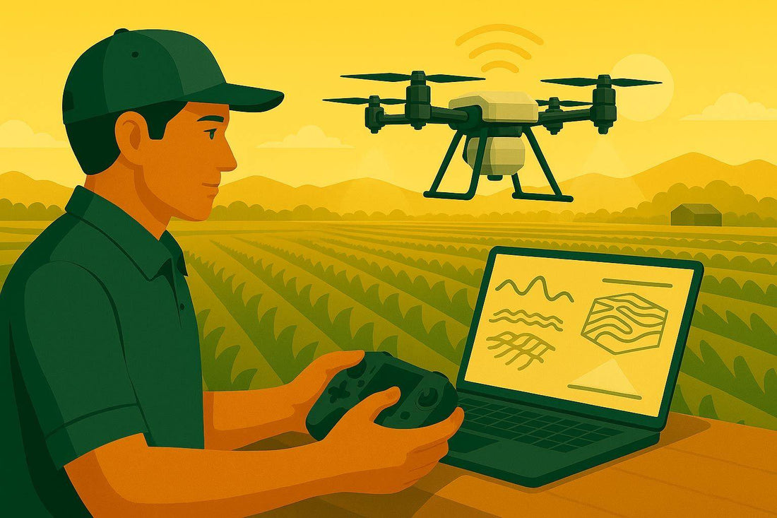
In the rapidly evolving world of agriculture, staying ahead means embracing tools that improve efficiency, sustainability, and profitability. For farmers and agricultural entrepreneurs eager to harness cutting-edge technology, 2025 marks a transformative era where artificial intelligence (AI), LiDAR sensors, and drone systems have become indispensable assets. This article unpacks how these technologies work together to optimize farming practices, enhance crop health analysis, and revolutionize drone-based applications like spraying and mapping.
Whether you’re a traditional farmer, an agricultural manager, or someone exploring the potential of drone services, understanding these emerging technologies could be the key to transforming your operations and maximizing yields.
Shifting Focus: From Drones to Data-Driven Decisions
Modern farming isn’t just about drones anymore. Instead, the focus has moved toward the actionable insights derived from drone data. Tools like multispectral imagery and LiDAR mapping are no longer niche; they’re central to revolutionizing how farmers diagnose issues, manage resources, and make proactive decisions.
"It's not so much about the drones anymore. It’s what you can do with them and how you create value with that data", Andreas noted.
The Building Blocks of Modern Precision Agriculture
To understand the true potential of these technologies, let’s break down their core components and their respective applications on the farm:
1. Multispectral Imagery: Decoding Plant Health
Multispectral imagery involves capturing light reflected from crops across different wavelengths - visible light (red, green, blue) as well as invisible bands like near-infrared and red-edge. These bands reveal changes in plant health that are invisible to the human eye.
- How It Works: When plants experience stress due to pests, diseases, nutrient deficiencies, or water issues, their light reflection changes - particularly in the near-infrared spectrum. Specialized sensors detect these variations, helping farmers identify and address problems early.
-
Applications:
- Creating health maps of a field through vegetation indices like NDVI (Normalized Difference Vegetation Index).
- Detecting hidden tile drainage issues by observing crop responses over different zones.
- Generating prescription maps for variable-rate applications, such as adjusting nitrogen levels or targeting specific areas for fungicide use.
2. LiDAR Technology: Mapping in 3D
LiDAR (Light Detection and Ranging) uses laser pulses - up to 240,000 per second - to measure distances with incredible precision. The result? Highly detailed 3D models of fields, plants, and landscapes.
- How It Works: A LiDAR-equipped drone measures the time it takes for laser pulses to bounce back, calculating exact elevations and creating a "point cloud" of data points.
-
Applications:
- Topographic Mapping: Generate field maps to design underground drainage systems or identify water pooling areas.
- Measuring Biomass: Estimate crop volumes to analyze yield potential.
- Field Uniformity Analysis: Evaluate height variations across plants to determine growth consistency.
3. AI-Powered Insights: Smarter Decision-Making
Artificial intelligence takes raw data from drones and sensors and transforms it into actionable insights. AI tools can process complex datasets, extract patterns, and provide tailored recommendations for farm management.
-
Applications:
- Plant Counting and Density Mapping: AI can identify and count individual plants, enabling farmers to track density and adjust inputs like fertilizers accordingly.
- Predictive Analysis: AI tools can analyze planting dates, NDVI values, and environmental data to predict harvest timing or suggest management practices.
- Statistical Analysis: For experimental plots, AI can run statistical tests (e.g., ANOVA) to assess the efficacy of different treatments, such as varying nitrogen rates.
4. Drone Spraying: The Next Frontier
While drones are already making waves in aerial mapping, their potential for precision spraying is game-changing. Equipped with variable-rate sprayers, drones can apply pesticides, herbicides, or fertilizers only where needed, reducing waste and environmental impact.
-
Advantages:
- Spot spraying: Target specific problem areas with minimal resource usage.
- On/off control: Automate application rates using prescription maps.
- Accessibility: Reach areas that traditional ground sprayers can’t, such as hilly terrains.
"Spraying with drones is coming. It’s not a matter of if - it’s a matter of when", Andreas explained. Although some regulatory changes are still necessary, particularly for heavy-payload drones, the technology is already proving its worth.
Real-World Applications: Stories from the Field
To illustrate the power of these technologies, here are some real-world examples shared during the presentation:
1. Variable Nitrogen Application Based on Plant Density
In one case, AI was used to count millions of corn plants across a client’s field. The data was divided into 40x40-foot grids, corresponding to the client’s 120-foot-wide sprayer boom. By identifying plant density in each grid, the farmer applied nitrogen variably, reducing waste and maximizing crop uptake.
2. Fungicide Application Using NDVI Maps
A farmer used drones to create NDVI-based health maps. These were fed into a variable-rate sprayer, enabling a precise, automated on/off application of fungicides. This not only saved resources but also ensured the crop received exactly what it needed.
3. Methane Mapping for Livestock Management
Beyond crops, drones are now being used to map methane emissions from manure pits. By identifying greenhouse gas hotspots, farmers can implement measures to reduce emissions and promote sustainability.
4. Drainage Systems Designed with LiDAR
A partnership with a drainage company demonstrated how LiDAR-generated 3D models can reveal ground contours even beneath standing crops. This data was used to design underground tiling systems, solving waterlogging issues without extensive manual surveying.
The Role of AI in Transforming Agriculture
AI’s role extends beyond data analysis - it acts as a "virtual advisor", providing insights that would otherwise take months to uncover. However, as Andreas emphasized, the real power of AI lies in pairing it with human expertise.
For example, when analyzing a trial comparing different nitrogen inhibitor treatments, raw data was processed through ChatGPT to perform advanced statistical analysis. The results revealed no significant difference between treatments, helping the client make informed decisions for future applications.
Farmers are already using AI in everyday ways, even if they don’t realize it. Typing crop-related questions into search engines or agricultural platforms often relies on AI-generated responses. However, actively adopting AI tools for data analysis, mapping, or predictive planning can unlock its full potential.
Key Takeaways
- Multispectral Imagery: Detect early plant stress, create prescription maps, and optimize inputs like nitrogen and fungicides.
- LiDAR: Generate 3D field models for drainage design, biomass calculation, and topographic analysis.
- AI-Powered Analysis: From plant counting to predictive planning, AI simplifies complex data and provides actionable insights.
- Drone Spraying: Boost efficiency with spot spraying and automated variable-rate applications.
- Regulatory Landscape: Stay informed about drone regulations as heavier payload drones become more accessible.
- Collaboration Opportunities: Farmers can benefit from government- or research-funded drone projects, gaining actionable insights at no cost.
- Privacy Matters: Ensure proper permissions are obtained before flying drones over private fields.
The Road Ahead
The marriage of drones, LiDAR, and AI is reshaping agriculture, bridging the gap between data collection and real-world application. For farmers and farm service providers willing to embrace these tools, the benefits are far-reaching: optimized yields, reduced costs, and more sustainable practices.
As precision agriculture continues to evolve, one thing is clear - modern farming isn’t just about working harder; it’s about working smarter. With the right tools and expertise, the future of farming looks brighter than ever.
Source: "What’s Next: AI, Automation & Ag Data in 2025" - Farms.com Agriculture Videos, YouTube, Sep 3, 2025 - https://www.youtube.com/watch?v=LkAqv3x2hho
